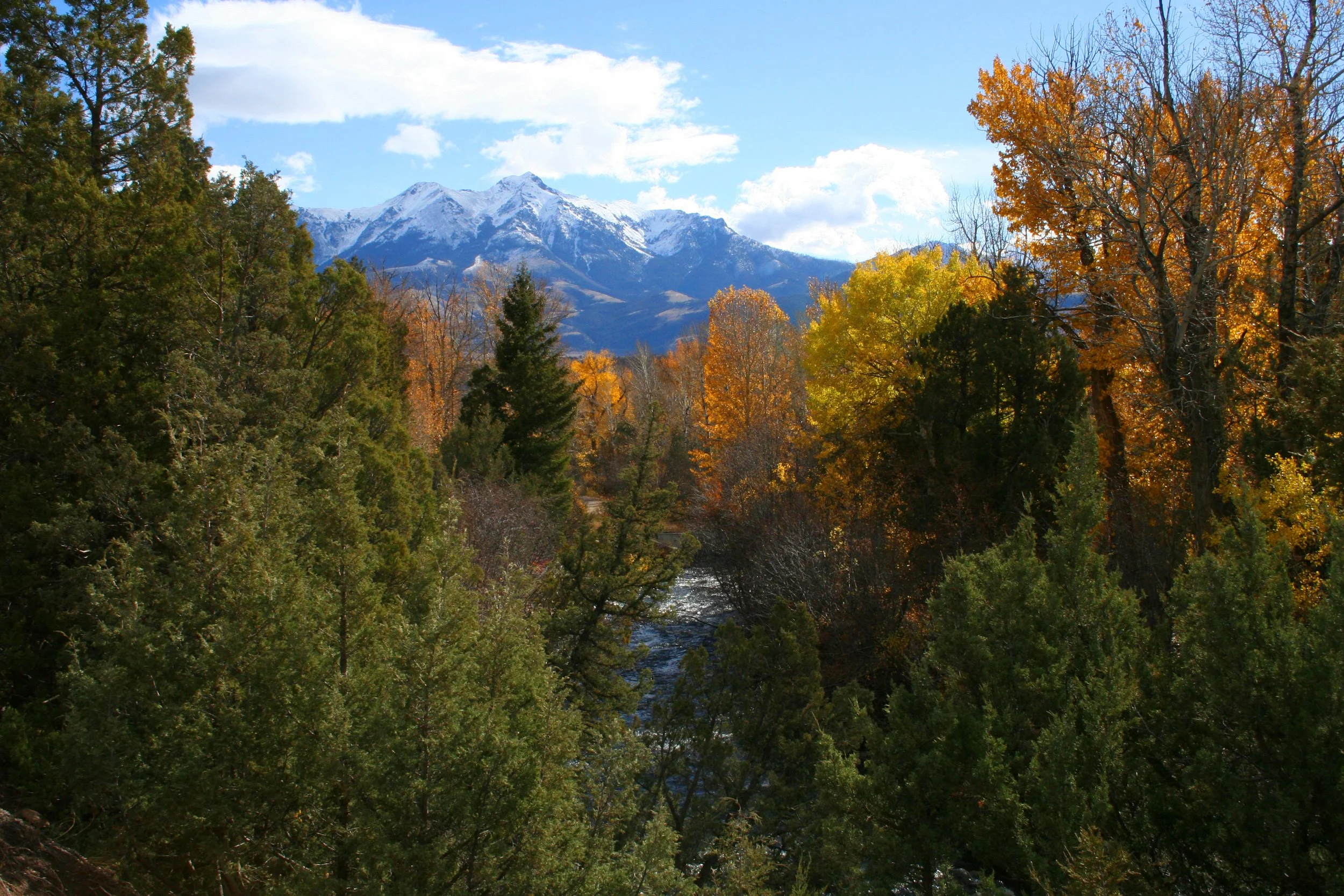
Upper Yellowstone Watershed Resources
The Upper Yellowstone Watershed is a vital ecological region encompassing diverse habitats, wildlife, and recreational opportunities. Numerous resources are available to support the sustainable management and conservation of this area. These resources include research studies, water quality monitoring programs, habitat restoration initiatives, and educational materials that inform stakeholders and the public about best practices in watershed stewardship. Engaging with these resources ensures the health and longevity of the Upper Yellowstone’s natural systems and enhances the quality of life for surrounding communities.
Watershed Resources


River Flows

USGS Water Dashboard
The U.S. Geological Survey operates two gage stations within our watershed: Corwin Springs in the Gardiner Basin, and Carter’s Bridge, just south of Livingston.
These stations continuously record Gage Height (feet), Discharge (cubic feet per second), and Water Temperature (Celsius). They can be viewed in real time and by custom time spans.
Water Supply


NRCS Supply Outlook Reports
Monthly Water Supply Outlook Reports (WSOR) are available by the fifth business day of each month January through June. The report summarizes current conditions related to water supply across Montana including precipitation, snowpack, temperature, streamflow, drought status, and weather outlooks. It also contains the most recent water supply forecasts for the upcoming spring and summer season.
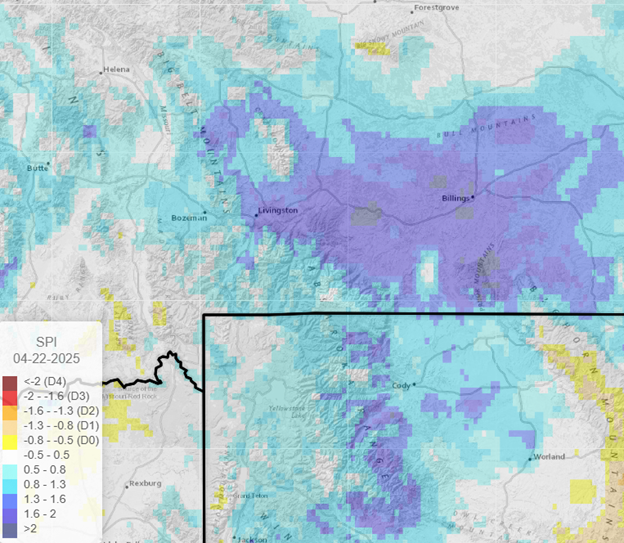
Drought Indicators Dashboard
The Upper Missouri River Basin (UMRB) Drought Indicators Dashboard provides access to drought indices that are used by the Montana Governor’s Drought and Water Supply Advisory Committee (Monitoring Sub-Committee), though it covers the whole Upper Missouri River Basin and the broader Pacific Northwest, not just Montana.
All datasets are calculated daily and can be aggregated by watershed and county boundaries. Data include SNOTEL, Precipitation, Temperature, Soil Moisture, and Drought Metrics (SPI, SPEI, EDDI, and SEDI).
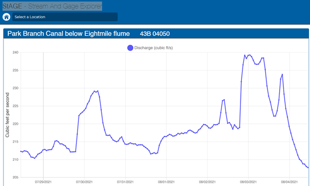
Stream & Gage Explorer
The Stream and Gage Explorer (StAGE) collects, analyzes, and presents accurate, high quality ‘real-time’ streamflow data in Montana’s rivers, streams, or critical surface water locations, not monitored by the National USGS program.
Irrigation-Arteries of Life
Irrigation in the Paradise Valley is vital to the agricultural operations in the Upper Yellowstone. Beginning in the 1890s, using horse and mule power, efforts were undertaken by landowners to build and maintain miles of irrigation systems to deliver water from the Yellowstone River to their agricultural operations.
The Arteries of Life video is intended to help residents and visitors alike to better understand how the valley’s hydrology and irrigation infrastructure are interrelated; the concept of water rights; and how the Park Branch Canal, North Side Ditch, and other systems were developed.
Irrigated Acreage
Irrigated Acreage of the Upper Yellowstone Drainage Map (2018) shows irrigated acreage as mapped and compiled from a variety of sources to support the recent Montana State Water Plan (2015).
Wildland Fire
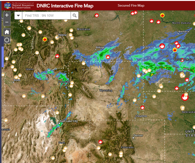

Wildland Fire Map
The Montana Department of Natural Resources and Conservation (DNRC) Interactive Fire Map provides up-to-date resources and information related to present and past wildfire incidents in the State of Montana. A variety of tools/widgets allow the user to interact with application to better understand forest fires and their impact to the landscape and residents of Montana.
Smoke Forecast
The BlueSky Canada Smoke Forecast is a current best estimate of when and where wildfire smoke events may occur over the next two days. The map may not agree exactly with local smoke concentrations and timing, and should be used with care.
Recreation


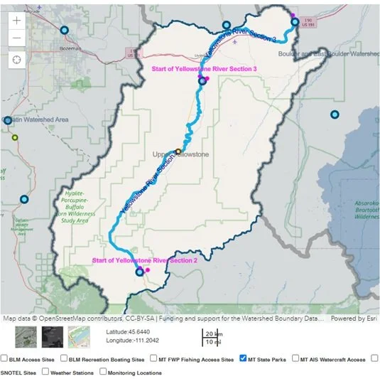
River Conditions & Access
The River Conditions Tool provides real-time access to USGS stream gage discharge and temperature, river access sites, stream restrictions and closures, and other information for river systems across Montana.
Explore the information by stream section or by watershed name. At upper right, use pull down menu to select “Upper Yellowstone Headwaters” or other river system.
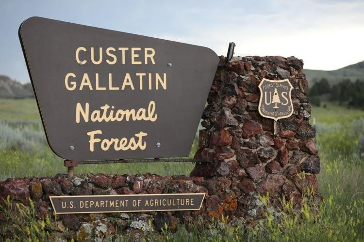
Custer Gallatin National Forest
The Custer Gallatin National Forest frames the Paradise Valley and Gardner Basin on the east and west flanks. It encompasses 3M+ acres of diverse, stunning lands vital to Greater Yellowstone Ecosystem.
The CGNF Website offers a range of resources including recreational opportunities, including hiking, biking, and camping, as well as alerts and fire danger status.
FWP Licensing
All individuals, ages 12 and older, must have a current CONSERVATION LICENSE to access most state lands, including FISH ACCESS SITES.
If you already have a current hunting or fishing license, your Conservation License is included. Resident licenses cost $4-8 and $10 for nonresidents.
Carry your Conservation License with pride knowing the funds go to the continuing maintenance and enhancement of Fish Access Sites and other state recreation and wildlife management areas.
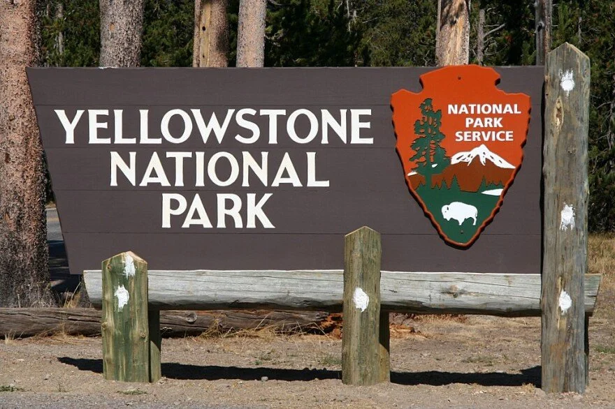
Yellowstone National Park— Current Conditions
Providing road conditions, visitor services, weather, visitor services, actvities, wildl fire, flood recovery, and wildlife safety.
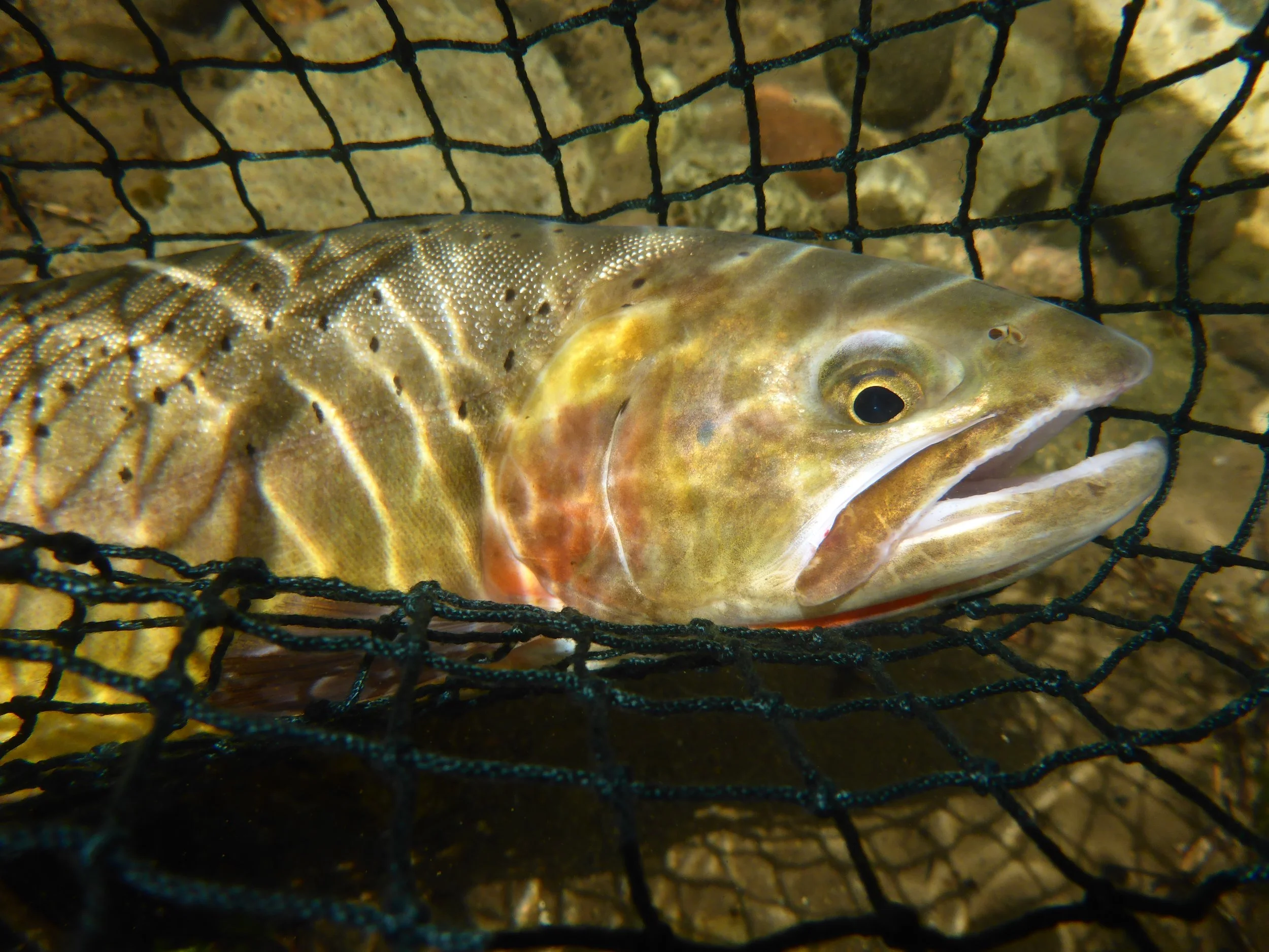
Fish & Wildlife
Ranching & Wildlife
The area’s working lands provide habitat for abundant populations of wildlife, ranging from elk and pronghorn to gray wolves and grizzly bears.
Private lands play a critical role in providing winter and year-round habitat for migratory and resident wildlife populations with much of the responsibility and financial burden for providing this habitat falling on the private landowners.
Elk, in particular, present significant challenges for landowners including disease transmission, competition with livestock for forage, and damage to fences.
Grizzly Bears in Paradise
Grizzly Bear Recovery in the northern Rockies has been a wildlife success story, especially within the Greater Yellowstone Ecosystem. But with success comes responsibility. For Grizzly Bear Specialist, Jeremiah Smith, that responsibility involves community engagement and bear conflict management. 7 minute video.